Winter Trail Maps+ Preview
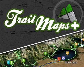
The Mountain Pulse is launching a winter update to Trail Maps+ , an interactive Google Earth travel guide for Jackson Hole and the Greater Teton Region. We are excited to present the creation of advanced online interactive maps for skiing, snowboarding and popular winter recreation activities in northwest Wyoming.
Available exclusively on www.TheMountainPulse.com, these free interactive travel guides offer new resources to showcase Jackson Hole Mountain Resort, Grand Targhee Resort and Snow King Resort to audiences as never seen before. Next generation travel guides for each resort utilize the Google Earth API to engage users visually and more effectively meet the growing demand for geo programming solutions.
Trail Maps+ Winter compliments our mission at The Mountain Pulse to amplify the spirit of the Tetons, and will change how visitors learn about Jackson Wyoming. Although remote, our mountain community in northwest Wyoming resonates around the globe as a world class tourism attraction. Now, friends, neighbors and visitors can virtually explore the abundance of winter recreation opportunities in the Greater Teton Region before ever setting foot in the mountains. Trail Maps+ Winter goes live for the first time on Wednesday, December 14th.
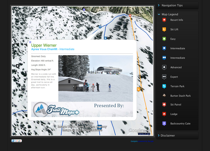
Features of Trail Maps+ include:
- Google Earth travel guides for skiing, snowboarding, cross country skiing, and snowmobiling.
- Locations include Jackson Hole Mountain Resort, Grand Targhee Resort, Snow King and others
- Real time weather updates, web cam integration, and travel resources.
- and much, much more…
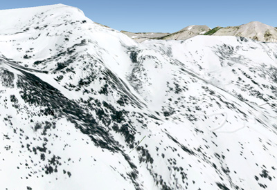
Winter aerial imagery of Jackson Hole Mountain Resort that replicates terrain at the ski area.
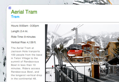
Customized description boxes with detailed statistics and terrain summaries for trails, lifts and amenities at each ski area
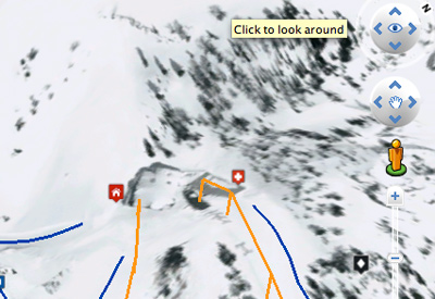
Easy to use Google Earth navigation controls that allow users to explore each ski area in 3D
Winter weather resources and links to specialized information for outdoor recreation activities in the Tetons
The initial launch of Trail Maps+ Winter features interactive Google Earth travel guides for ski areas in Jackson Hole. Soon to follow are travel resources for cross country skiing and snowmobiling. We invite you to view Trail Maps+ upon its release and welcome your feedback about the experience. Our team is grateful for the support of our community in Jackson Hole and looks forward to sharing Trail Maps+ with our neighbor and friends.
– The Mountain Pulse
Other Posts from The Mountain Pulse
Tweet
!function(d,s,id){var js,fjs=d.getElementsByTagName(s);if(!d.getElementById(id)){js=d.createElement(s);js.id=id;js.src="//platform.twitter.com/widgets.js";fjs.parentNode.insertBefore(js,fjs);}}(document,"script","twitter-wjs");
02/18/14 - A break in the storm reveals the sight that never gets old, a breathtaking sunset in Grand Teton Nation Park. Photographer: Stephen Williams
Previous Photos
Read More
Tweet
!function(d,s,id){var js,fjs=d.getElementsByTagName(s);if(!d.getElementById(id)){js=d.createElement(s);js.id=id;js.src="//platform.twitter.com/widgets.js";fjs.parentNode.insertBefore(js,fjs);}}(document,"script","twitter-wjs");
The 43rd Annual Shriner's Cutter Races
Previewed By: Adam Glos
Saturday, February 15th // Sunday, February 16th
Melody Ranch // Jackson, WY
12:00 pm – 3:00 pm
General Admission: $15
This weekend, give your ski ...
Read More
Tweet
!function(d,s,id){var js,fjs=d.getElementsByTagName(s);if(!d.getElementById(id)){js=d.createElement(s);js.id=id;js.src="//platform.twitter.com/widgets.js";fjs.parentNode.insertBefore(js,fjs);}}(document,"script","twitter-wjs");
The 2014 Banff Mountain Film Festival World Tour
Sponsored By: Skinny Skis
Previewed By: Adam Glos
Saturday, Feb. 8th / 8 pm // Sunday, Feb 9th / 7 pm
Jackson Hole High School ...
Read More
Tweet
!function(d,s,id){var js,fjs=d.getElementsByTagName(s);if(!d.getElementById(id)){js=d.createElement(s);js.id=id;js.src="//platform.twitter.com/widgets.js";fjs.parentNode.insertBefore(js,fjs);}}(document,"script","twitter-wjs");
Moon Taxi
Previewed By: Ellie Stratton-Brook
Saturday January, 25th
Pink Garter Theatre // Jackson, WY
With special guests the Acoustic Weapons
Doors - 8:00pm // Show - 9:00pm
Tickets: $14 in advance // Buy Tickets ...
Read More
Tweet
!function(d,s,id){var js,fjs=d.getElementsByTagName(s);if(!d.getElementById(id)){js=d.createElement(s);js.id=id;js.src="//platform.twitter.com/widgets.js";fjs.parentNode.insertBefore(js,fjs);}}(document,"script","twitter-wjs");
2014 Coldsmoke Awards
Previewed By: Stephen Williams
Saturday January, 18th
Emerson Cultural Center, Bozeman MT
North of the Sun - Filmhuset AS
Never Not Part 2 - Nike
Valhalla - Sweetgrass Productions
Previous Photos
Read More
Tweet
!function(d,s,id){var js,fjs=d.getElementsByTagName(s);if(!d.getElementById(id)){js=d.createElement(s);js.id=id;js.src="//platform.twitter.com/widgets.js";fjs.parentNode.insertBefore(js,fjs);}}(document,"script","twitter-wjs");
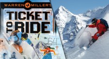
Warren Miller's Ticket to Ride
Previewed By: Stephen Williams
Friday December, 20th
Pink Garter Theatre
All Ages Showing - 6:00 pm
21+ Showing - 9:00pm
$16 / Buy Tickets Online
Read More
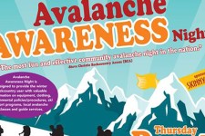
Avalanche Awareness Night
Thursday 12/05 - 6:30 to 9:30pm
Jackson Hole Center for the Arts
$5 Donation benefits Teton County Search and Rescue
Previewed by: Stephen Williams
From the time that Powder Magazine's annual Buyer's ...
Read More
Tweet
!function(d,s,id){var js,fjs=d.getElementsByTagName(s);if(!d.getElementById(id)){js=d.createElement(s);js.id=id;js.src="//platform.twitter.com/widgets.js";fjs.parentNode.insertBefore(js,fjs);}}(document,"script","twitter-wjs");
03/20/14 - Spring is right around the corner and with such a high snowpack in Jackson Hole, the touring season will be awesome. Doug Hayden, Kevin Salys and Tyler ...
Read More
Tweet
!function(d,s,id){var js,fjs=d.getElementsByTagName(s);if(!d.getElementById(id)){js=d.createElement(s);js.id=id;js.src="//platform.twitter.com/widgets.js";fjs.parentNode.insertBefore(js,fjs);}}(document,"script","twitter-wjs");
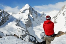
03/15/14 - What a perfect day to be in the mountains. Fresh snow, clear sunny skies and just a little wind. Alex Howell takes a moment to take in ...
Read More
Tweet
!function(d,s,id){var js,fjs=d.getElementsByTagName(s);if(!d.getElementById(id)){js=d.createElement(s);js.id=id;js.src="//platform.twitter.com/widgets.js";fjs.parentNode.insertBefore(js,fjs);}}(document,"script","twitter-wjs");
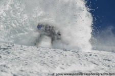
03/11/14 - Springtime pow surfing with Kyle Martin from Dragon Alliance as he rips into 13" of new snow under bluebird skies at Grand Targhee Resort. Photographer: Kevin Cass ...
Read More
Tweet
!function(d,s,id){var js,fjs=d.getElementsByTagName(s);if(!d.getElementById(id)){js=d.createElement(s);js.id=id;js.src="//platform.twitter.com/widgets.js";fjs.parentNode.insertBefore(js,fjs);}}(document,"script","twitter-wjs");
Canyon Kids Release Double EP
Written By: Adam Glos
Photos by: Christie Quinn
In case you missed it, the debut album from Canyon Kids hit the electronic shelves recently, proving once again ...
Read More
Tweet
!function(d,s,id){var js,fjs=d.getElementsByTagName(s);if(!d.getElementById(id)){js=d.createElement(s);js.id=id;js.src="//platform.twitter.com/widgets.js";fjs.parentNode.insertBefore(js,fjs);}}(document,"script","twitter-wjs");
<
Head for the Hills
Previewed By: Ellie Stratton-Brook
Thursday March, 6th
Town Square Tavern // Jackson, WY
9:00pm // Tickets: $10 // Buy Tickets Online
Although you may have seen many bluegrass bands around ...
Read More
Tweet
!function(d,s,id){var js,fjs=d.getElementsByTagName(s);if(!d.getElementById(id)){js=d.createElement(s);js.id=id;js.src="//platform.twitter.com/widgets.js";fjs.parentNode.insertBefore(js,fjs);}}(document,"script","twitter-wjs");
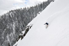
03/02/14 - Mark Byall slashes a line in the Jackson Hole Mountain Resort backcountry as the consistent flow of snow continues into March. Photographer: Stephen Williams
Previous Photos
Read More
Tweet
!function(d,s,id){var js,fjs=d.getElementsByTagName(s);if(!d.getElementById(id)){js=d.createElement(s);js.id=id;js.src="//platform.twitter.com/widgets.js";fjs.parentNode.insertBefore(js,fjs);}}(document,"script","twitter-wjs");
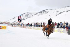
02/23/24 - A skier flies off a jump being pulled behind a horse racing down a track at Melody Ranch just south of Jackson for the 2nd Annual Ski ...
Read More
Tweet
!function(d,s,id){var js,fjs=d.getElementsByTagName(s);if(!d.getElementById(id)){js=d.createElement(s);js.id=id;js.src="//platform.twitter.com/widgets.js";fjs.parentNode.insertBefore(js,fjs);}}(document,"script","twitter-wjs");
02/22/14 - February has been incredible in Jackson Hole and it's not quite over yet. Marian Herbick digs into the bottom half of Four Pjnes with more fresh snow ...
Read More
Tweet
!function(d,s,id){var js,fjs=d.getElementsByTagName(s);if(!d.getElementById(id)){js=d.createElement(s);js.id=id;js.src="//platform.twitter.com/widgets.js";fjs.parentNode.insertBefore(js,fjs);}}(document,"script","twitter-wjs");
02/21/14 - Nick Grenoble left his snorkel at home and had to come up for air between trips to the whiteroom. Jackson Hole Mountain Resort was unbelievably deep today ...
Read More
Tweet
!function(d,s,id){var js,fjs=d.getElementsByTagName(s);if(!d.getElementById(id)){js=d.createElement(s);js.id=id;js.src="//platform.twitter.com/widgets.js";fjs.parentNode.insertBefore(js,fjs);}}(document,"script","twitter-wjs");
The 2nd Annual North American Skijoring Championships
Previewed By: Adam Glos
Saturday, February 22nd - 12:00pm
1 Sunday, February 23rd - 11:00am
Melody Ranch // Jackson, WY
General Admission: $10 // Kids 12 and ...
Read More
Tweet
!function(d,s,id){var js,fjs=d.getElementsByTagName(s);if(!d.getElementById(id)){js=d.createElement(s);js.id=id;js.src="//platform.twitter.com/widgets.js";fjs.parentNode.insertBefore(js,fjs);}}(document,"script","twitter-wjs");
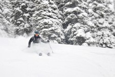
02/15/14 - The recent storm has brought in a lot of heavier snow and Adam Glos enjoys the surfy conditions earlier this week. Photographer: Stephen Williams
Previous Photos
Read More











One Response to “Winter Trail Maps+ Preview”